New Bay Area Transit Map
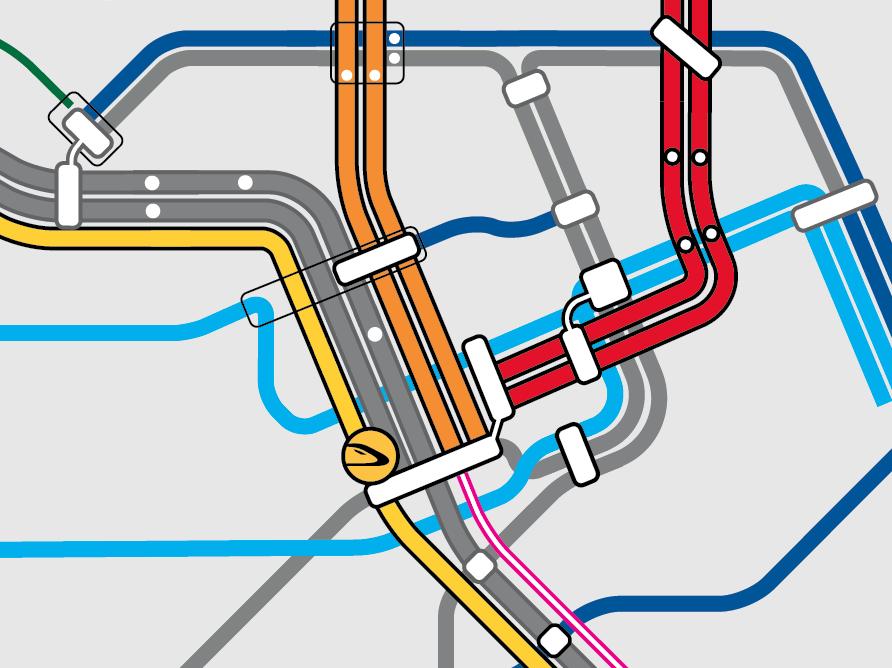
Here's a piece of a map that I've been working on. It's a project for SPUR (San Francisco Planning and Urban Research Association), that makes a map that is consumer based and shows multiple transit agencies and their rail and frequent/rapid bus lines. This particular piece shows where new rail and bus lines should go (in color), while the existing transit is shown in grey.
The yellow icon indicates a high speed rail train station.

You can find a higher res version here on my flickr account.
The yellow icon indicates a high speed rail train station.
You can find a higher res version here on my flickr account.


Comments
Post a Comment